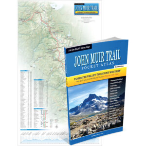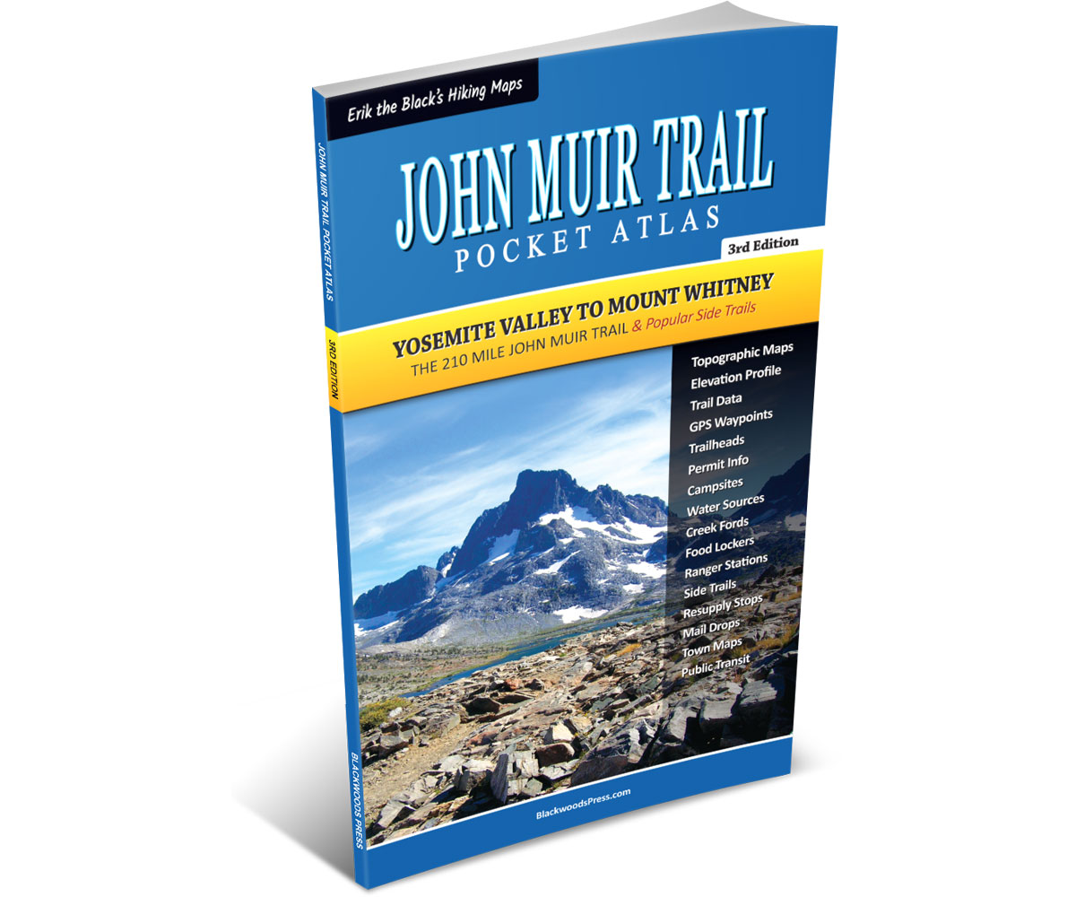
John Muir Trail Pocket Atlas
Paperback, 3rd Edition
By Erik Asorson (Erik the Black)
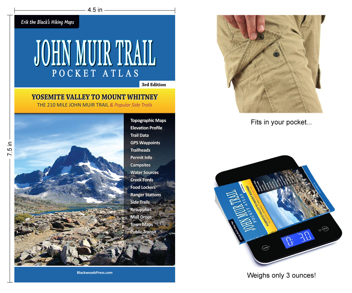
- Pocket-Size Guidebook: John Muir Trail Pocket Atlas measures 4.5 x 7.5 x 0.2 inches and weighs just 3 ounces
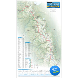
- John Muir Trail Maps: Showing the entire trail, water sources, campsites, trailheads and 300 miles of side trails
- Mileage and Elevation Data: Including northbound and southbound mileage and detailed elevation profiles
- Resupply Locations and Services: Post offices, maildrops, transportation, food, lodging, outfitters and more
- GPS Data: Download waypoints from the book to use with your smartphone and GPS devices (GPX format)
Original price was: $29.95.$24.95Current price is: $24.95.
FREE SHIPPING (USPS Ground)
Also available from:
All the maps and essential data you need to hike the John Muir Trail in
One Ultralight Pocket-Size Guidebook
John Muir Trail Maps & Data
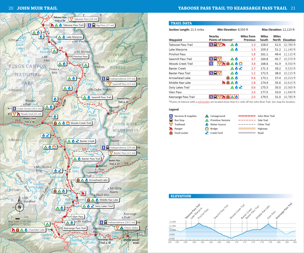
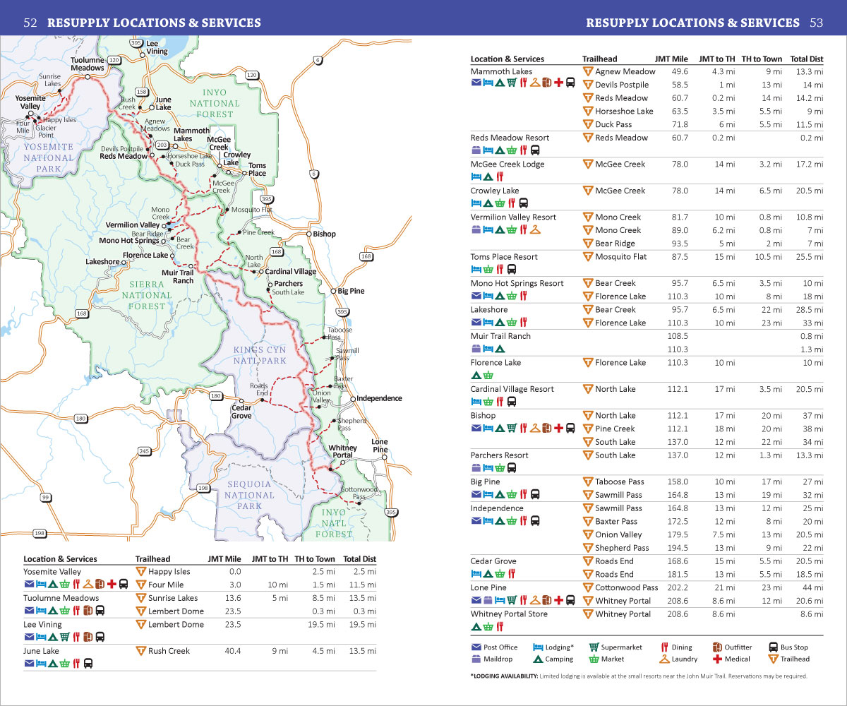
John Muir Trail Pocket Atlas includes detailed maps and trail data for the entire 210 mile John Muir Trail (plus 300 miles of side trails.) Maps include mileage and elevation data, water sources, campsites, trailheads and other points of interest. Plus resupply locations, town maps, town services, post offices, maildrops, transportation, permit info, downloadable GPS data and more.


Start Planning Your John Muir Trail Hike
Get Your John Muir Trail Guide Here:
John Muir Trail Pocket Atlas
Paperback, 3rd Edition
Original price was: $29.95.$24.95Current price is: $24.95.
30 day money back satisfaction guarantee
FREE SHIPPING (USPS Ground)
Also available from: