

Tahoe Rim Trail Map Bundle
Pocket Atlas & Laminated Wall Map
By Erik Asorson (Erik the Black)
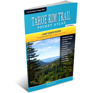
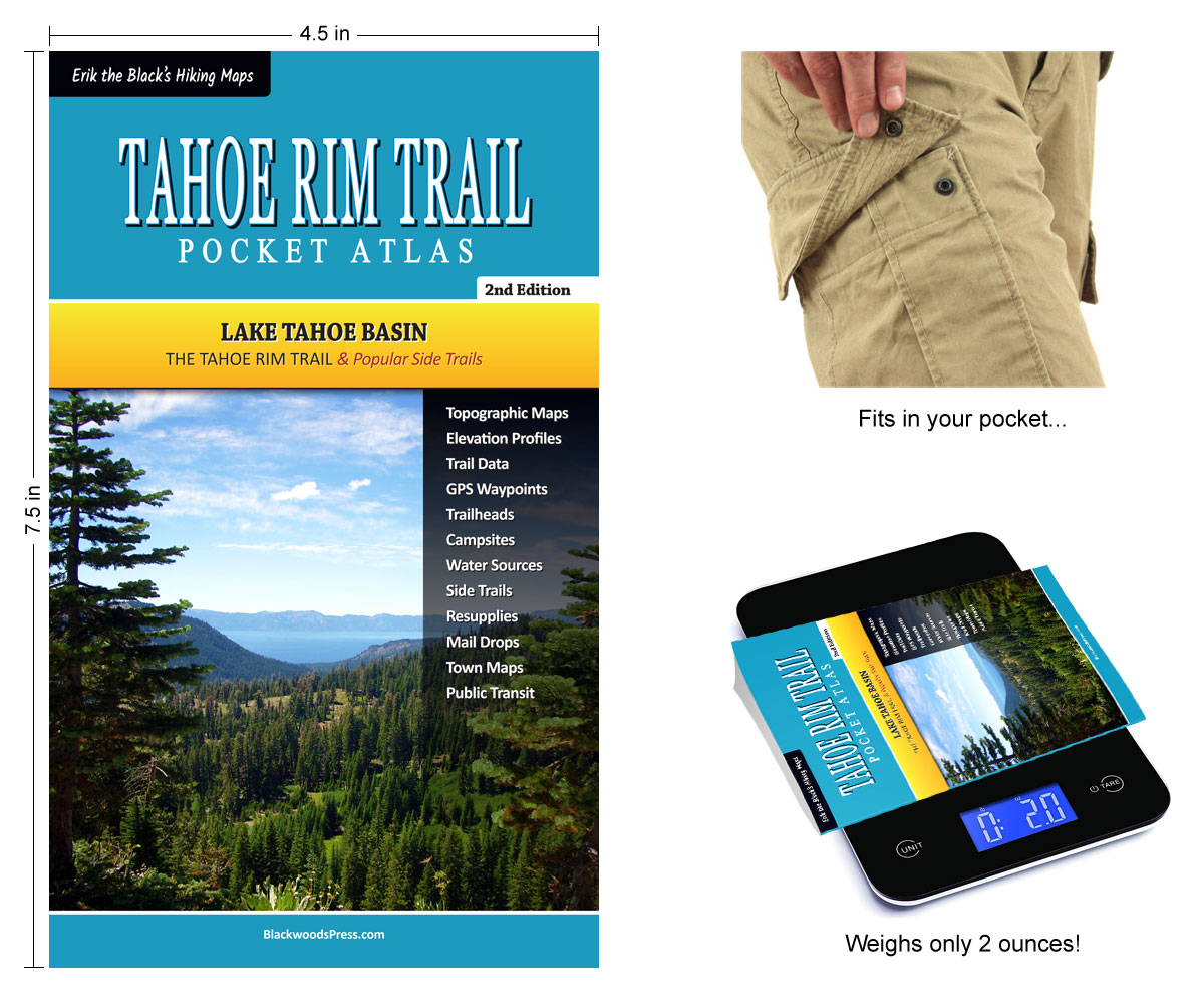
- Tahoe Rim Trail Pocket Atlas: All the maps and essential trail data you need to hike, bike or ride the Tahoe Rim Trail packed into one ultralight pocket-size guidebook
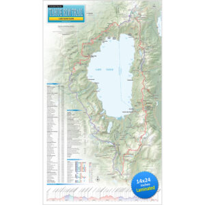
- Tahoe Rim Trail Wall Map: 14 x 24 inch laminated wall map showing the entire Tahoe Rim Trail around Lake Tahoe, with essential hike planning info
Original price was: $49.95.$39.95Current price is: $39.95.
FREE SHIPPING (USPS Ground)
Also available from:
All the maps and data you need to hike, bike or ride the Tahoe Rim Trail in
One Ultralight Pocket-Size Guidebook
Tahoe Rim Trail Maps & Data
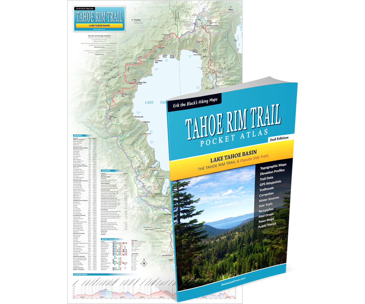
Tahoe Rim Trail Pocket Atlas includes detailed maps and trail data for the entire 171 mile Tahoe Rim Trail around Lake Tahoe. Maps include mileage and elevation data, water sources, campsites, trailheads and other points of interest. Plus resupply locations, town maps, town services, post offices, maildrops, transportation, permit info, downloadable GPS data and more.


A detailed overview of
The 171 Mile Tahoe Rim Trail Around Lake Tahoe

Tahoe Rim Trail Map Features
Tahoe Rim Trail Wall Map shows the entire 171 mile Tahoe Rim Trail around Lake Tahoe, with mileage and elevation data, side trails, alternate routes, trailheads, elevation profile, resupply locations, town services and other points of interest.


Start Planning Your Tahoe Rim Trail Hike
Get Your Tahoe Rim Trail Maps Here:
Tahoe Rim Trail Map Bundle
Pocket Atlas & Wall Map
Original price was: $49.95.$39.95Current price is: $39.95.
30 day money back satisfaction guarantee
FREE SHIPPING (USPS Ground)
Also available from: