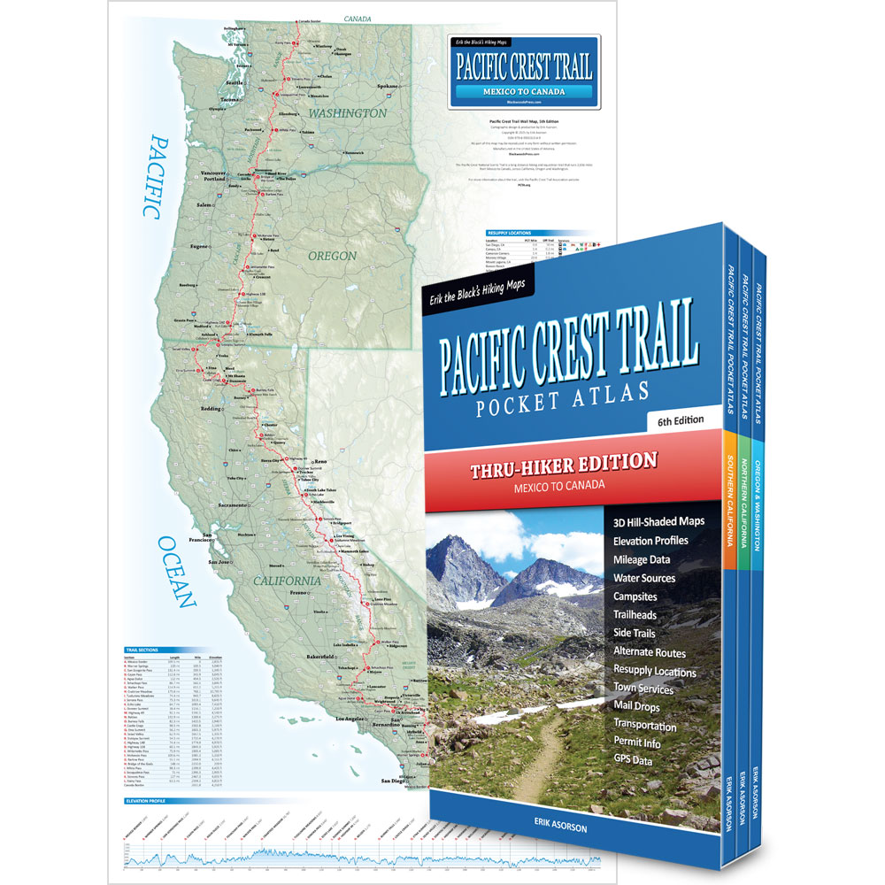

Pacific Crest Trail Map Bundle
Pocket Atlas 3-Book Set & Wall Map
By Erik Asorson (Erik the Black)
- Pacific Crest Trail Pocket Atlas 3-Book Set: All the maps and essential trail data you need to hike the Pacific Crest Trail packed into three ultralight pocket-size guidebooks
- Pacific Crest Trail Wall Map: 15 x 26 inch laminated wall map showing the entire Pacific Crest Trail from Mexico to Canada, with essential trail data
Original price was: $99.95.$64.95Current price is: $64.95.
Available from:
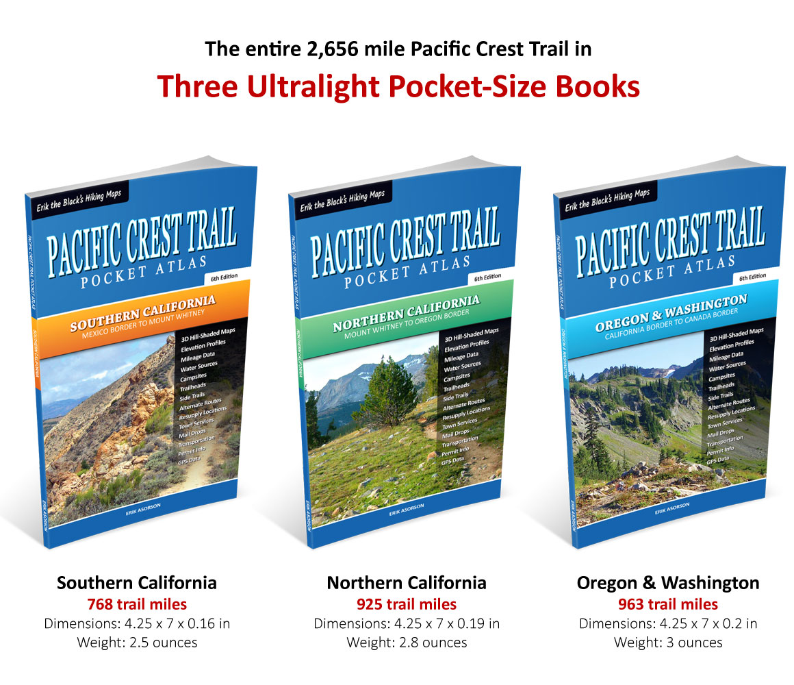
The entire 2,656 mile Pacific Crest Trail in
Three Ultralight Pocket-Size Books

Pacific Crest Trail Maps
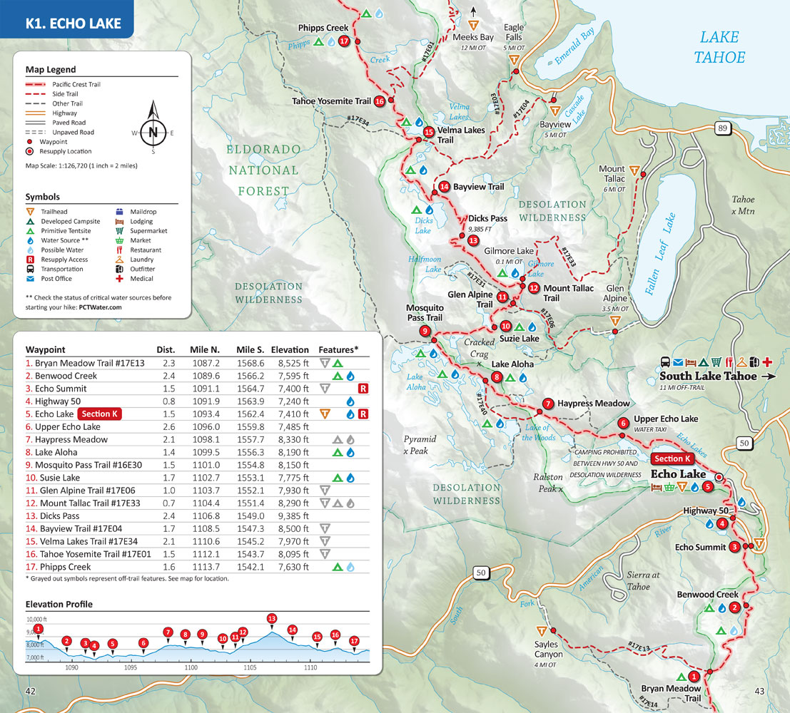
Pacific Crest Trail Maps show the entire 2,656 mile Pacific Crest Trail from Mexico to Canada, with mileage and elevation data, side trails and alternate routes, water sources, campsites, trailheads, resupply locations and other points of interest.


Pacific Crest Data
Pacific Crest Trail Pocket Atlases includes overview maps, section data for all twenty-nine sections of the trail, resupply locations, post offices, maildrops, transportation, town services, permit info, GPS data and more.


A detailed overview of
The 2,656 Mile Pacific Crest Trail From Mexico to Canada

Pacific Crest Trail Map Features
Pacific Crest Trail Wall Map shows the entire 2,656 mile Pacific Crest Trail from Mexico to Canada, with mileage and elevation data, major roads and trailheads, elevation profile, resupply locations, town services and other points of interest.


Start Planning Your Pacific Crest Trail Hike
Get Your Pacific Crest Trail Maps Here:
Pacific Crest Trail Map Bundle
Pocket Atlas 3-Book Set & Wall Map
Original price was: $99.95.$64.95Current price is: $64.95.
Available from:
Related products
-
Sale!
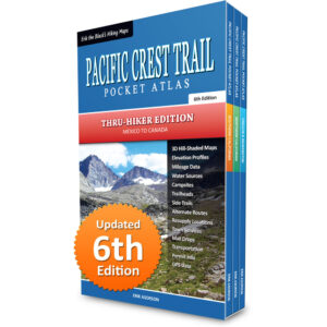
Pacific Crest Trail Pocket Atlas: Complete 3-Book Set
Original price was: $89.95.$49.95Current price is: $49.95. -
Sale!
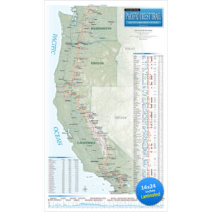
Pacific Crest Trail Wall Map
Original price was: $29.95.$24.95Current price is: $24.95. -
Sale!
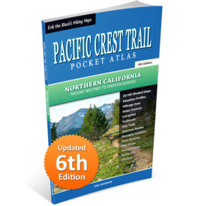
Pacific Crest Trail Pocket Atlas: Northern California
Original price was: $29.95.$24.95Current price is: $24.95. -
Sale!
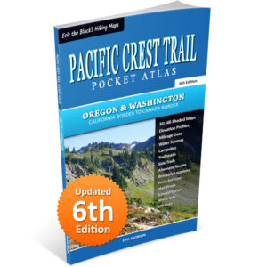
Pacific Crest Trail Pocket Atlas: Oregon & Washington
Original price was: $29.95.$24.95Current price is: $24.95.