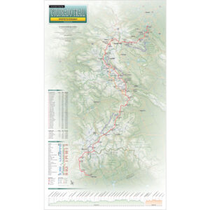
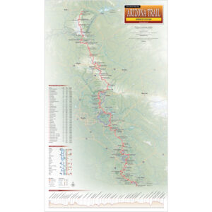
New! Colorado Trail and Arizona Trail Maps
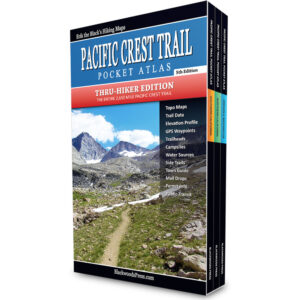
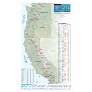
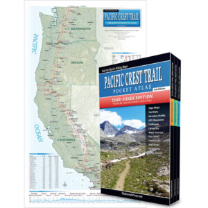
Pacific Crest Trail Maps & Guidebooks
The Pacific Crest Trail is a 2,650 mile long backpacking trail that runs from Mexico to Canada, through California, Oregon and Washington. My Pacific Crest Trail Maps & Guides include all the essential information you’ll need to hike the Pacific Crest Trail.
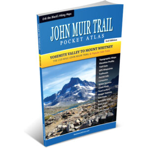
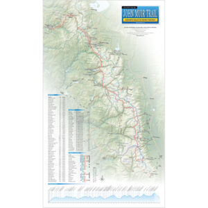
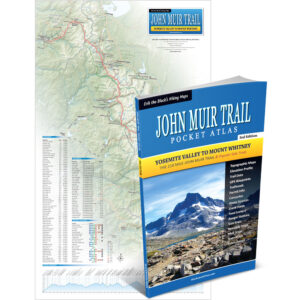
John Muir Trail Maps & Guidebooks
The John Muir Trail is a 210 mile long backpacking trail that runs from Yosemite Valley to Mount Whitney in California’s Sierra Nevadas. My John Muir Trail Maps & Guides include all the essential information you’ll need to hike the John Muir Trail.
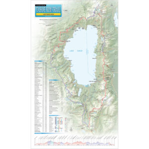
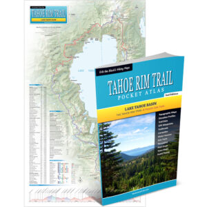
Tahoe Rim Trail Maps & Guidebooks
The Tahoe Rim Trail is a 171 mile long backpacking and mountain biking trail that forms a loop around Lake Tahoe. My Tahoe Rim Trail Maps & Guides include all the essential information you’ll need to hike (or bike) the Tahoe Rim Trail.

From the Author: My Maps and Pocket Atlases for the Pacific Crest Trail, John Muir Trail, Tahoe Rim Trail, Colorado Trail and Arizona Trail are designed to give you the essential trail data you need to plan your hike and navigate the trail, in a hiker-friendly format. If you like to know where you’re going, but don’t like heavy guidebooks or big floppy maps, then my minimalist trail guides are for you!

Happy trails,
Founder of Blackwoods Press