John Muir Trail Maps, Apps and Guide Books
The best John Muir Trail maps, mobile apps and guide books for hiking the John Muir Trail 210 miles from Yosemite Valley to Mount Whitney
About The John Muir Trail
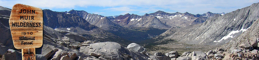
The John Muir Trail (JMT) is a long-distance hiking trail in the Sierra Nevada mountains of Central California. The JMT travels 210 miles from Yosemite Valley to the 14,500 ft. summit of Mount Whitney, the highest peak in the contiguous United States.
One of the biggest challenges of hiking the John Muir Trail is navigation. Although the JMT is well maintained for most of it’s length, it is not always well-marked and involves navigating snow fields, creek fords and other obstacles. A good set of John Muir Trail maps are essential for hiking the JMT. This guide covers the best paper maps, guidebooks and mobile apps for John Muir Trail hikers.
John Muir Trail Maps
John Muir Trail Maps are an essential tool for navigating the John Muir Trail. Even if you use a smartphone or GPS for navigation, you should still always carry paper maps for backup. Electronic devices can malfunction or run out of batteries when you need them most, but paper maps are always reliable. Most JMT hikers carry both paper maps and a GPS to get the best of both worlds.
The best John Muir Trail maps are: Erik the Black’s JMT Pocket Atlas, Nat Geo JMT Map Guide and Tom Harrison’s JMT Map Pack.
Erik the Black’s John Muir Trail Maps
John Muir Trail Pocket Atlas
Erik Asorson
Buy online:

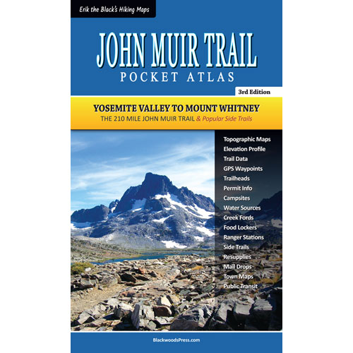
Erik the Black’s JMT Pocket Atlas is designed for lightweight backpackers and thru-hikers. It includes all the essential maps and trail data needed to hike the JMT. The book measures 4.5 x 7.5 inches and weighs just 3 ounces.
Nat Geo John Muir Trail Maps
John Muir Trail Map Guide
National Geographic
Buy online:
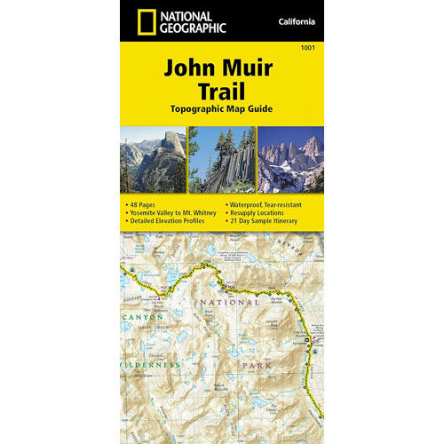
Nat Geo JMT Map Guide is a pocket-size waterproof map book. It includes topographic maps, elevation profiles, points of interest, trail mileage and some planning data. It measures 4.25 x 9.25 inches and weighs 3 ounces.
Tom Harrison’s John Muir Trail Maps
John Muir Trail Map Pack
Tom Harrison
Buy online:
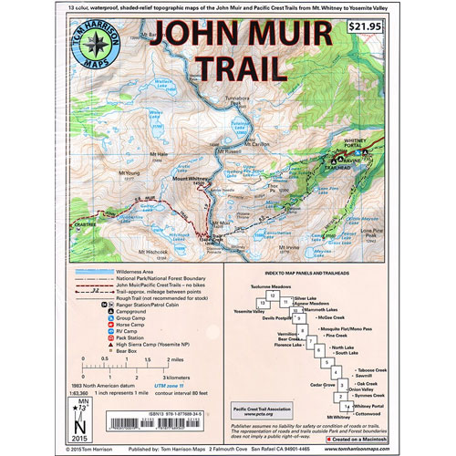
Tom Harrison’s JMT Map Pack is a set of 15 individual waterproof topographic maps. They show the route of the trail with trailheads, campgrounds, access roads and other info. It measures 8.5 x 11 inches and weighs 3 ounces.
Erik the Black’s John Muir Trail Map
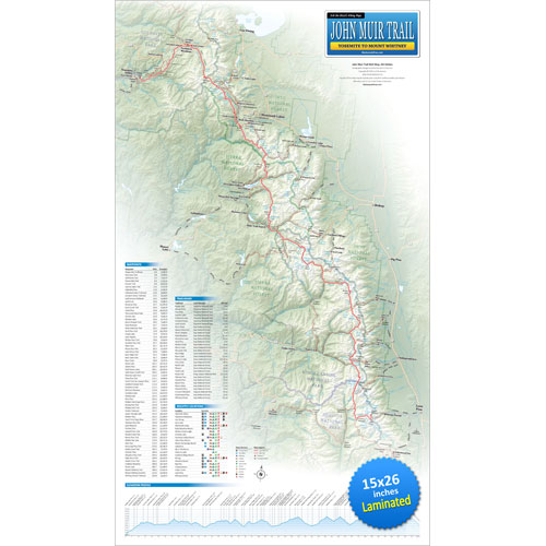
Erik the Black’s JMT Wall Map
15 x 26 inches (Laminated)
Buy online:
Erik the Black’s John Muir Trail Map shows the entire 210 mile trail from Yosemite to Mt. Whitney, with essential planning data for hikers and backpackers. The laminated wall map measures 15 x 26 inches.
John Muir Trail Guide Books
John Muir Trail Guide Books contain a treasure trove of information about the John Muir Trail. Unfortunately, they tend to be big and heavy, so most JMT hikers don’t want to carry the entire book with them on the trail. Luckily, there are some workarounds.
One way to save weight is to cut the guidebooks up and only pack the pages you need for each section of trail. Another option is to download the digital version to your phone using the Amazon Kindle app.
Essential Guide To Hiking The JMT
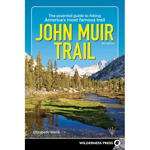
John Muir Trail Guide Book
Elizabeth Wenk
Buy online:
The Essential Guide To Hiking The John Muir Trail, by Elizabeth Wenk, is the most popular John Muir Trail guidebook. It includes all the information you need to plan your John Muir Trail adventures.
John Muir Trail Data Book
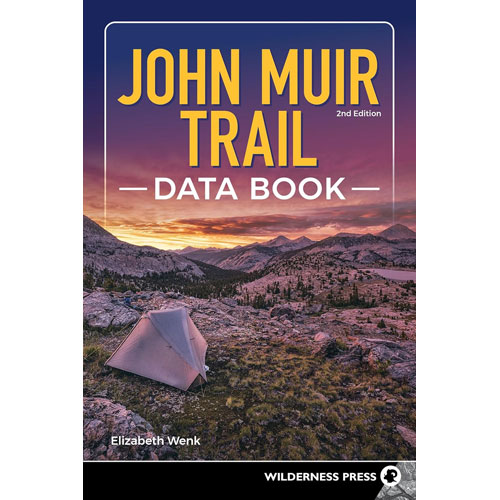
John Muir Trail Data Book
Elizabeth Wenk
Buy online:
John Muir Trail Data Book, by Elizabeth Wenk, is a slimmed down version of the guidebook, containing essential information needed on the trail, like mileage, elevation and resupply data.
Trekking The John Muir Trail
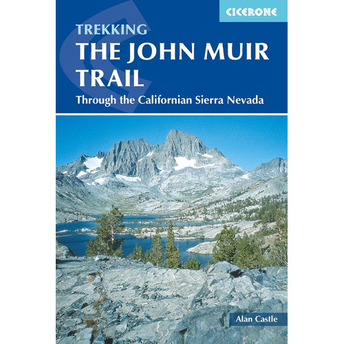
Trekking The John Muir Trail
Alan Castle
Buy online:
Trekking the John Muir Trail, by Alan Castle, is another useful John Muir Trail guidebook. It divides the route into 21 stages, each between 7-16 miles long, and includes essential planning info.
John Muir Trail Mobile Apps
Why You Should Always Pack Paper Maps On The John Muir Trail
Smartphones and GPSes have made trail navigation easier and more convenient. But you should never rely on them exclusively. Electronics can malfunction, get damaged or run out of batteries when you need them the most. Paper maps don’t have that problem, which is why they are still essential for safe wilderness travel. Most JMT hikers pack both paper maps and a GPS.
FarOut John Muir Trail App
FarOut JMT is the most popular smartphone app for the John Muir Trail. It includes JMT-specific route data, waypoints, water sources, campsites, resupply and town data and trip planning tools.
Amazon Kindle App
Amazon Kindle enables you to pack digital editions of JMT guidebooks on your phone with no weight penalty, as well as an unlimited library of e-books for recreational reading in camp.
GAIA GPS App
GAIA GPS is useful for route planning, recording tracks and identifying/navigating the many side trails which intersect the JMT.
AllTrails App
AllTrails is another app that is great for route planning, recording tracks and navigating side trails and roads along the JMT.
John Muir Trail GPS Data
John Muir Trail GPS tracks and waypoints make navigating the John Muir Trail easy. Download them onto your phone or GPS, and you will be able to see the route of the trail, your current location and important trail features in real-time as you hike.
Pacific Crest Trail Association GPS Tracks
The Pacific Crest Trail Association publishes a detailed set of GPS tracks for the Pacific Crest Trail, which coincides with much of the route of the JMT. You can download them from the PCTA website in GPX format, designed to work with any smartphone or GPS.
Erik the Black’s GPS Waypoints
Erik the Black’s JMT Maps show the locations of water sources, campsites, bear boxes, trailheads and other points of interest along the John Muir Trail. When you purchase a JMT Pocket Atlas, you also get a GPX waypoint file to use with your phone or GPS.
JohnMuirTrailMap.com
Affiliate Disclosure: As an Amazon Associate, I may earn commissions for qualifying purchases.